


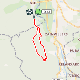


6.3 km | 8.9 km-effort


User


FREE GPS app for hiking
 SityTrail
IGN / Geographical institutes
SityTrail World
The world is yours!
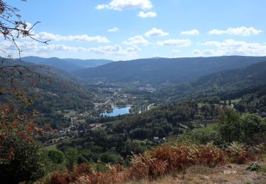
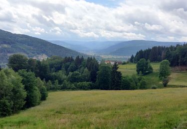
Trail Walking of 4.3 km to be discovered at Grand Est, Vosges, Le Syndicat. This trail is proposed by tracegps.
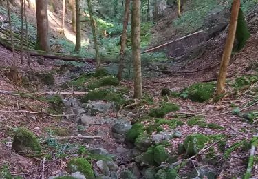
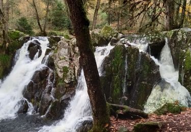
L’entame du parcours s’effectue par le sentier des Pennecières (triangle rouge et anneau vert), on continue en direction du Balcon de Solem par le sentier des Ravines (anneau vert). Cette promenade est vivifiante car nous passons au dessus de petits ponts de bois qui surplombent les frêles petits ruisseaux qui dévalent le massif. D’autres informations et photos sur le site des Balades de Stéphane.


Walking

Walking

Walking
Walking
Walking
Walking
Walking
Horseback riding
On foot